
Photo Essay: The Tongariro Alpine Crossing
/Our hike across the Tongariro Alpine Crossing reached all of our expectations and more. Knowing that the weather there is very fickle, we were prepared for anything. We hoped for the best but expected the worst, especially after hearing one of our Couchsurfer hosts talk about his very foggy hike there. But it seemed that after a rainy day in Abel Tasman, the gods were on our side and we were graced with the most perfect day we could have ever asked for. Blue skies, with some gusty winds, but nothing compared to Patagonia. We were happy as could be. Check out our pictures below to see what I'm talking about!
An early morning greeting of normal volcanic risk
Our 19.4 km hike started out in a beautiful valley
Our views after a good hour of walking up a steady incline
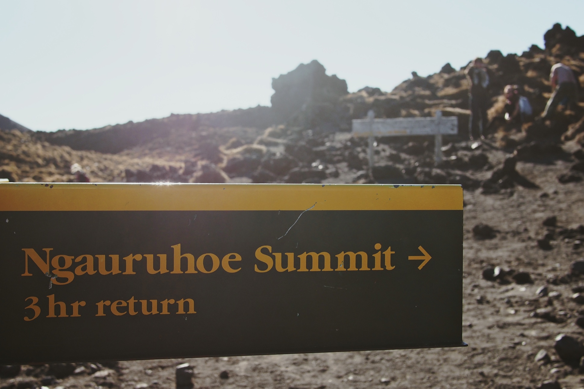
A side trek up Ngauruhoe Summit also known as "Mount Doom" from The Lord of the Rings movies was in our cards that day thanks to wonderful weather

A view of Mount Ngauruhoe

There is absolutely no trail to reach the summit. Just a whole lot of loose volcanic rocks, which make the whole experience slippery and scary. Being above the clouds was a nice reprieve, however.
From the top of Mount Ngauruhoe, we caught a glimpse of the rest of the trail, including that blue circular lake, which we passed a few hours later.
Yours truly near the crater where Frodo tossed that golden ring. No sight of molten lava that day though...
You can actually trek around Mount Ngauruhoe once you reach the summit. Can you spot the lone hiker?
Another picture of what was still to come...
It took us 2 1/2 hours return (with a half hour break at the top) to hike Mount Ngauruhoe. Climbing down was the most fun as you slide down the loose rocks. Just make sure you empty your shoes out at the end :)
From Mount Ngauruhoe, we continued our hike across the Tongariro Crossing and arrived to the Emerald Lakes.
More volcanic rock surround this area so it was important to stay cautious and not get too distracted by the amazing colors of these lakes.
Just in case you forgot you were walking around active volcanoes.
A close-up of the Blue Lake we saw from the summit of Mount Ngauruhoe.
The large mountain in the back is Mount Ngauruhoe, the one in front of it with the deep red crater is where the Emerald Lakes are and that tiny little trail just shows you how massive it all is.
Can you only imagine having walked 6 hours only to have to turn around and go back?
Our last leg of the hike was mostly all downhill with amazing views of Lake Rotoaira and Lake Taupo
Did you forget about the volcanoes yet?
Some active steam vents on our way down. The vapor almost looked like the clouds behind it!
After 9 hours of hiking, we drove 2 hours to Waitomo so we could see some glowworms that night. We chose to forego the expensive tour and head out to a free cave on our own instead. There were only a few on the night we were there but we still enjoyed the sight!
Notes & A Few Helpful Hints
Accomodation
- Rivertsone Backpackers (Turangi): a quiet hostel with a very homey feel set in Turangi, a small town about an hour away from Tongariro. Great kitchen and wifi as well!
- YHA Waitomo (Waitomo): very busy so the facilities are not always clean, especially the kitchen and bathrooms. Rooms are very cramped but fine for one night.
Transport
- We parked our rental car in the Ketetahi car park in the morning and caught the 7 AM Alpine Hot Bus that took us to Mangatepopo and the start of the track. It cost us NZ$25 per person, though their website now says NZ$20 per person.