
36 Hours in El Chaltén
/After our recent Torres del Paine success and our relatively relaxed time in El Calafate, we were feeling the itch to do some more hiking. Luckily for us, El Chaltén is just north of El Calafate. So, we hopped on a bus early one morning and headed north for two more hiking-packed days in Patagonia.
The small town of El Chaltén
When we got to town, we headed straight to our hostel and dumped our bags. With two days and only one night in town, we had to make our time count. So, we went straight out on our first hike, heading towards Laguna Torre. With plenty of clouds overhead, we hoped for the best.
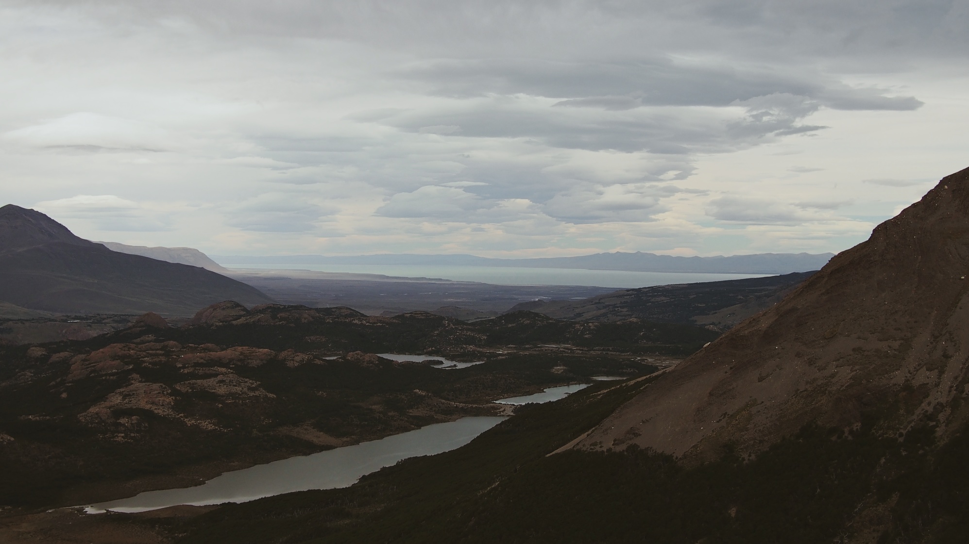
The hike itself was not very difficult for us. It may have been a honeymoon feeling since this was the first time we'd spent a whole day hiking since Torres del Paine, but we never felt the trail was that bad. You head uphill basically the entire way to the Laguna, but there are only a few steep parts that are certainly manageable – unlike Torres del Paine, we never felt like we needed/wanted hiking poles here. There are a few viewpoints along the way that give you a chance to snap shots of the prize of the hike – Cerro Torre.
Cerro and friends from a distance
Eventually, you reach the lake and, if you're blessed with good weather, you would get an amazing vista. Unfortunately, we were not so lucky and the clouds that spent the day with us shrouded the peak of Cerro Torre and its neighboring peaks. That being said, cloudy mountains do make for some really great moody pictures:
Cerro Torre peeking out from behind a cloud that just would not move
Most guides and maps will say the hike takes approximately 6 hours, but we were out and back in about 4 hours and 30 minutes. That doesn't include a very important pitstop: on the way back to town, we stopped at Lo de Haydee bakery for coffee and some delicious nut-cake – a great snack to reward ourselves for the hike we just finished.
After a good night's rest, we woke early to a stereotypical bread-and-jam/butter breakfast before tackling the day-hike to the view of Mount Fitz Roy, the tallest mountain in the region and a notoriously difficult peak to ascend. The path to the viewpoint might be called Laguna de Los Tres, but if you're looking for the day-hike entrance and need to ask the locals, refer to it as Sendero al Fitz Roy.
Didn't believe me, did you?!?


Another well-marked path, this day-hike has a few different options you can take depending on your mood, what you want to see, and the weather. We started our morning by heading to the Mirador del Fitz Roy, which thanks to the morning clouds provided for a really great first shot of the mountain.
Hooray for the clouds not being in front of what we wanted to see!
We continued on through the valley, slowly working our way towards the base of the final ascent that takes you to the laguna. There is a campsite at the bottom with a bathroom, so make use of it if you need to. Also, just beyond the campsite there are a few streams/a river with rushing water, so fill up your water bottles before you start the climb up.


Until this hill, the hike is mostly flat and pretty easy to tackle. That's a good thing, because this last part is hard. It's an uphill slog for an hour or two to reach the top. We were moving at a pretty good pace, in relatively good shape from all our hiking so far, and it took us an hour and fifteen minutes to reach the top, about the same to get back down. The path up is still well-marked and easy to follow, but there's a lot of clambering over boulders and it's steep. It's not a hike you want to do with bad knees/back/ankles/anything and there are plenty of warnings not to do it if you have these or heart problems. That being said, when you do make it up, the view of Fitz Roy is stunning:
Panorama from the viewpoint
The view worth every drop of sweat during the climb
Looking back from the viewpoint. The clouds were our friend that day, keeping temperatures down and clearing out just when we needed them to.
The hike back to town was pleasant and we took a different route back to town, giving us another great view from in front of a lake.
If this picture doesn't make you want to drop everything and go hiking right now, I can't imagine one that would. You can visit this lake on your way towards the viewpoint, but on the day we went, we were glad we waited until we were headed back to town.
The estimate for this day-hike is approximately 7-8 hours, and we took just about 7 hours to do it ourselves. But, that included at least an hour and a half of breaks, either for eating or picture taking. Not trying to brag here (it comes naturally), just giving everyone an idea of how long the hikes take!
After an insanely delicious Patagonian-lamb empanada reward, we headed back to our hostel to relax for a couple hours before jumping on a bus back to El Calafate. We really enjoyed the hikes and were grateful that we didn't get rained on as the clouds followed us on both days. With such a short time, we made the most of it and prepared our bodies pretty well for the hiking-barrage that was to follow in Bariloche.
Notes:
We stayed at Condor de los Andes. It was great for the one night we were there, albeit the kitchen was a little small for the number of guests (still had two stoves, though, which was great). The breakfast was basic but was filling enough.
We cannot remember the place we had the lamb empanada at. It was on San Martin on the east side of the road (right side as you walk towards Fitz Roy) and had a sign offering free Wi-Fi. It looks more like a house than a restaurant. If it helps, the empanada was 30 pesos, which seems expensive, but was pretty big – we shared one.
We bought our bus tickets from the station in El Calafate. They were 340 pesos per person, round trip.